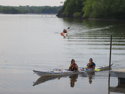
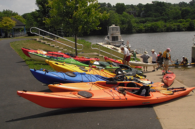
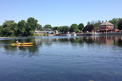
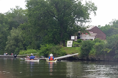
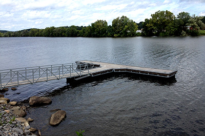
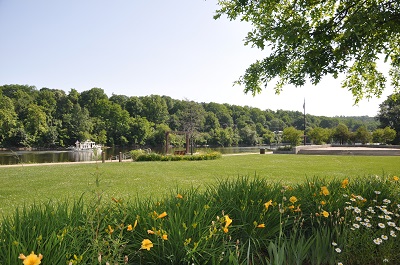
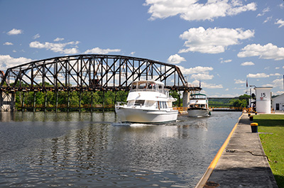
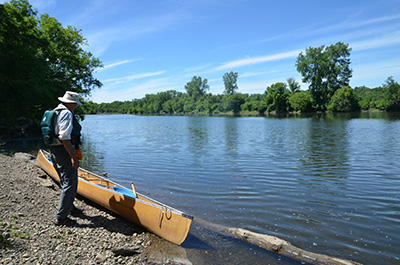
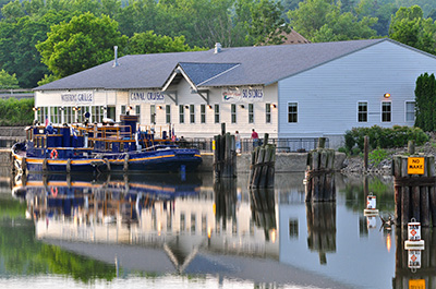
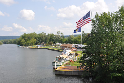
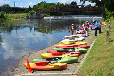
Easily accessible from the Capital Region, the community of Waterford makes a great place to begin your paddling journey on the New York State Canalway Water Trail, both along Erie and the Champlain Canals. No boat? No problem. Visit Upstate Kayak Rentals located at the launch to help provide you with all of your paddling needs for your journey.
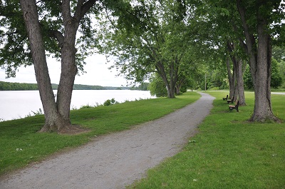
Nearby Trail: The Erie Canalway Trail, Peebles Island Trails including the Peebles Island Bike Path, the Perimeter Trail, Deer Run Trail, and the Fire Road Trail
Upstate Kayak Rentals offers hourly kayak rentals, traveling adventures, and now self serving Kayak Rental Hubs throughout the Capital District. We want you to explore all the various beautiful waterways the Capital District has to offer in the most convenient way possible. Visit different locations and excursions throughout the summer and fall for a different paddling experience.
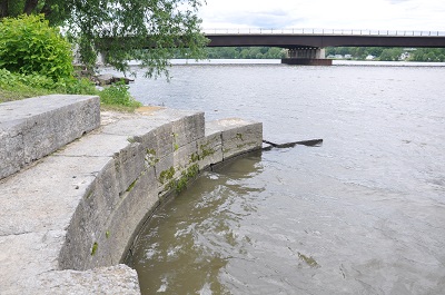
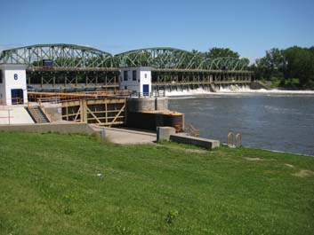
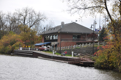
Start your visit to Waterford and the Waterford Flight of locks here. Services for boaters include water, showers, electric, and pump-out. Merchandise, phone/computer, free wifi, and information at the dockside Visitor Center. Boat launch. Kayak rentals nearby.
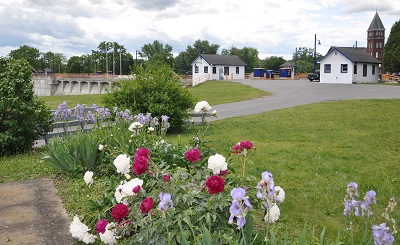
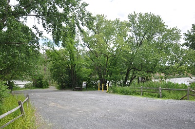
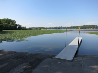
Provides visitor information and amenities for boaters and cyclists. Large headwall and floating docks for motorized boats; better to park and launch at First Street parking area (Waterford Point). Hiking trails across the bridge on Peebles Island.
Nearby Trail: The Erie Canalway Trail, Peebles Island Bike Path
Facilities for boaters, visitor's center, picnic areas, and interpretive exhibits. Provides a good starting point for cycling day trips along Bike "9" or a shorter trip along a 1.5 mile section of the old Champlain Canal towpath in Waterford.
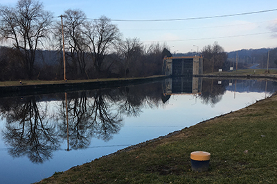
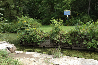
Great place to explore locks and nearby historic sites. Best bet is to walk from Eastern Gateway and the Waterford Harbor Visitor Center. From the top of the lock you can take a short side paddle down the old Champlain Canal.
Nearby Trail: The Erie Canalway Trail, Peebles Island Bike Path
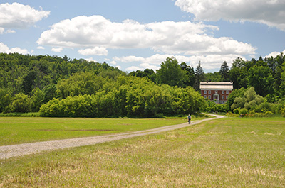
158 acre park at the confluence of the Hudson and Mohawk Rivers; spectacular river and rapids views from trails that traverse gently rolling and wooded landscape. Primarily upland oak forest, with several small wetlands and open grassland habitat. Trails open for walking and jogging. Also: picnicking, fishing, cross-country skiing, and snowshoing.
This seasonal visitor center is located at Peebles Island State Park and provides information on local attractions and places to visit throughout the Erie Canalway National Heritage Corridor.
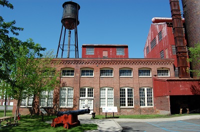
The New York State Canal Corporation maintenance facility and dry docks are located at Lock 3. Watch for Canal Corp working vessels at the top of the lock. Picnic tables and benches are available.
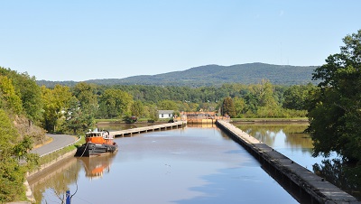
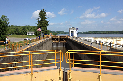
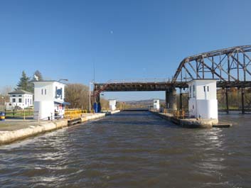
Another step in the staircase of locks that make up the Waterford Flight. Between Locks 5 and 6 you'll be guided by concrete slabs that are supported by underwater piers, forming a passageway between the locks. The large pools of water on either side of the passageway absorb water surges when the locks are emptied. This lock has a 33.2' lift.
Facilities and picnic area for boaters, cyclists, fishing.
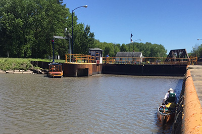
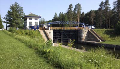
This lock is at the top of the Waterford Flight, which climbs 169 feet above the Hudson River. Great views to the east; picnic facilities. This lock has a 33' lift.
Above Lock 6, you'll paddle through a half-mile long channel that runs through a deep rock cut carved in the greywacke shale that forms the crest of Cohoes Falls.
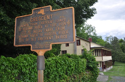
This is a private facility. Contact the facility prior to planning use. A convenience store is located across the Crescent Bridge on the north side of the Mohawk River.
Parking, convenience store, and trails are all nearby this popular fishing spot. By aware that launching non-motorized boats is best done from the west side of the high headwall.
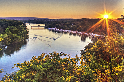
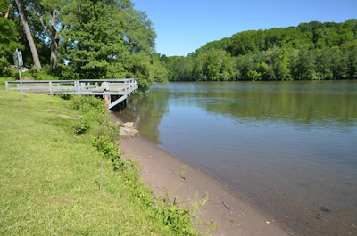
This site provides a sweeping view of the Mohawk River and offers ample parking and easy access to a beach landing. A small parking lot with limited facilities makes this a favorite launch site for local fishermen.
A large public park with plenty of beach access, the Mohawk River Park makes a great launch site to explore the area. Amenities for paddlers include restrooms, picnic facilities including grills, and ample parking with plenty of trails to stretch your legs.
As you paddle under the Thaddeus Kosciusko Bridge (also known as The Twin Bridges), you'll pass Dunsbach Ferry to the east and below the bridge. This was once the site of an important river crossing and, in the 1920s, the hamlet was home to many barge canal captains.
Blain's Bay Marina is nestled in a sheltered cover at Buoy R18A just east of the Twin Bridges and is a full service private marina. Blain's Bay offers many amenities including a marina store for supplies.
Located on the north shore of the Mohawk, the marina offers camping facilities with electric service, city water, and area information for the visiting paddler.
This historic site, where canal boats were once constructed and repaired, is inland and north of the water trail. During periods of high to moderate water levels, the site may be accessible by water via the water trail. The site is located within the Vischer Ferry Historic and Nature Preserve. The dry dock is also accessible via the preserve's network of trails.
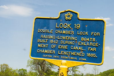
This historic lock offers nice views of the Mohawk River. Stay in the canal channel to the south shore to avoid the Vischer Ferry Dam. Hydroelectric power from the dam generates electricity for lock operations and other buildings on site. The lock has a 27' lift.
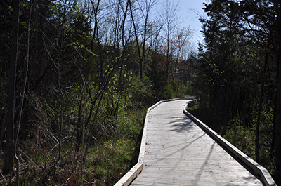
Over 2,000 acres of parks and preserves to explore including many historic elements of the Tow-path Era Erie Canal. You can hike over 20 miles of community trails that meander along the north shore of the Mohawk River.
Scenic views of the Mohawk River; paddling access is at the base of a cliff, with ramp available for walking up to the top of teh cliff for picnicking and a short trail walk for stretching out. This site is adjacent to Riverview Orchards, a working orchard with an onsite farm market and historic general store.
As an early Erie Canal farm, Riverview Orchards has been in agriculture for over 100 years. The farm store offers restrooms and many locally produced foods, including fruits, vegetables, eggs, honey and plenty of pastries and sweets to fuel your paddling adventure.
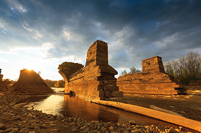
Remaining arches of the massive Rexford aqueduct that once spanned the Mohawk River can be seen on both sides of the river here. The aqueduct was constructed in 1841 to carry the Enlarged Erie Canal over the Mohawk.
Adjacent to the Stockade District, the oldest neighborhood in Schenectady marked by Dutch and English 17th- and 18th-century buildings. There is a waterfront park, from which you can walk through the neighborhood and visit the Schenectady County Historical Society.
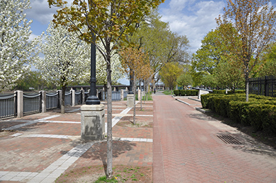
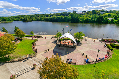
A long promenade along Schenectady's waterfront, this park offers grassy beaches for short-term rests and access to the adjacent historic neighborhoods.
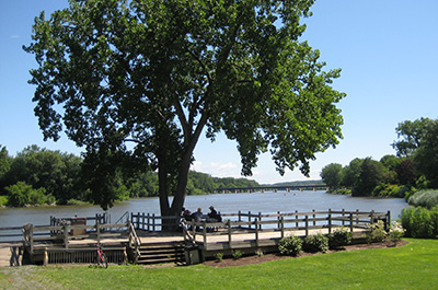
With a beach landing and parking for nearly 20 cars, the popular community launch provides a gazebo, picnic facilities, a dock and access to the Erie Canalway Trail.
These municipal docks are located at Freedom Park and stretch along the north shore. Paddlers are welcome for the day free of charge to enjoy Scotia's parks and walkable community. Overnight guests have access to electricity and water for a nominal fee. Easy access to Jumpin' Jacks Drive-In.
A 56 acre riverfront park, this site offers easy access to the water trail and is a popular fishing spot located across the river from the historic Lock 8.
Shady camping sites, a small store for supplies, restrooms, showers and a laundromat help make this scenic campground on the Mohawk River a great place for overnight stays.
Lots of parking and picnic facilities makes a great park for family adventures. Enjoy exploring the Plotter Kill Aqueduct in the southeast corner of the park and access to the Erie Canalway Trail.
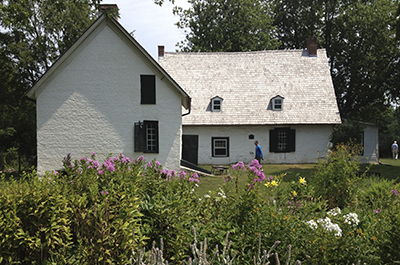
The oldest farm in the Mohawk Valley, Mabee Farm Historic Site offers vibrant educational and recreational opportunities. Several historic buildings, resident farm animals, and an educational center is open year-round.
This lock complex includes movable dam 5, which extends across the river and carries Route 103 between Rotterdam and Glenville. Stay to the north shore to avoid the dam. The lock has a 15.0' lift.
There is a floating dock downstream of the lock and dam at the mouth of a lagoon, opposite the downstream end of the north approach wall. This lock has a 15' lift.
Riverlink Park provides great access to many services available in nearby downtown Amsterdam. Substantial docking is available with floating docks located on the west end of the park.
Urban kayaking is popular in many major cities because you can experience nature and see the city in a different light. There are moments kayaking in Amsterdam that you forget that you are within city limits. The locks on the Erie Canal control the flow of water, making the Mohawk River slower and more navigable, like a series of lakes.
Kayaking on the Mohawk River in Amsterdam is a great way to learn about the exciting history of the Erie Canal, check out the recent upgrades along the river, and envision the future. Being on the water is an incredible way to experience Amsterdam.
An Enlarged Era canal lock constructed in 1841, this area also known as Yankee Hill features the 1855 Putnam's Grocery Store. Explore the grounds with picnic facilities and direct access the Erie Canalway Trail.
This lock is located near Schoharie Crossing State Historic Site. There is an informal bank launch at the upstream end of the north approach wall about 850-feet above the upstream lock gates. This lock has an 11' lift.
Dating to 1841, Schoharie Aqueduct once carried canal boats over the Schoharie Creek. Of the original 14 stone arches only six remain. Located within Schoharie Crossing State Historic Site.
Take some time to paddle up the Schoharie Creek and explore the magnificent stone remains of the Schoharie Aqueduct.
One of New York's premier canal sites, where you can see the remains of the impressive Schoharie Aqueduct, locks from 1825 and 1841, and hike, bike, and picnic on the banks of the present-day canal. Tour the visitor center and partially-restored canal store at historic Lock 28.
From the south side of the canal/river, look for the entrance to the old Erie Canal. You can paddle up into it as far as the historic Yankee Hill Lock, built in 1841.
This lock and dam are now part of the Lock 13 Living History Rest Area off the NYS Thruway. However, there is no access for paddlers and the service area is officially off-limits due to federal regulations. The lock has an 8' lift.
Riverfront park is a terminal wall located on the southern shore of the Mohawk River just east of Lock E14 near the Route 10/Church St. bridge . There is docking on the in-river floating docks. Easy access to all that Canajoharie has to offer.
A well-maintained DEC facility, this ramp and low floating dock with substantial shaded parking area makes for a great launch or egress on the north side of the canal. A short walk up tree-lined Old Station Rd. puts you into the communities of Nelliston and Fort Plain just over the River St. Bridge.
Enlarged Erie Canal Lock No. 33 is located in the Town of Minden, on the south side of the modern canal and the Mohawk River. St. Johnsville is directly opposite on the north side of the canal and river. It is a double-chamber lock, with the south chamber double-length on the head (western) end. Enlarged Erie Canal Lock No. 33 was built from 1838-1840, and the south chamber was lengthened in 1887-1888. Only three other locks on the Enlarged Erie were lengthened at the head end owing to the amount of excavation necessary on that end.
A large municipal marina and campground, this facility provides plenty of floating docks for overnight tie-ups, a ramp to easily pull-out for the night, and the space to spread out for camping over-night stays.
The Erie Canal and Mohawk River go their separate ways at the south side of Lock 16, creating an island of land bordered by the canal to the south and river to the north. Though you can paddle upriver for a ways, the Rocky Ridge Dam at the north end of the island prevents paddling a loop. The lock has a 20.5' lift.
Features the colonial days of Palatine German settlement in the Mohawk Valley at the 18th-century farmstead of Revolutionary War hero, General Nicholas Herkimer.
Floating docks on the river provide access to this historic property. Worth pulling out and exploring.
Constructed in 1915, Lock 17 was once the highest single lift lock in the world at 40.5 feet. The lock is at the lower end of a mile long land-cut, built to pass the multiple drops and rapids that make up the "Little Falls" of the Mohawk River. A heavy counterbalanced guillotine gate, hung from overhead chains and riding on rails on the inside of a bulkhead make this lock unique.
Enjoy paddling through the largest lock on the Erie Canal. A unique guillotine gate opens the lock. The lock has a 40.5' lift.
Visitor center and services for boaters include: water, restroom and showers, laundry, WIFI, boat launch, small tent camping for cyclists, and picnic area.
Lovely park and facilities with visitor information and services for boaters.
Arriving into Little Falls will seem a welcome respite after the long stretch from Lock 18. However, if you are looking for amenities and services paddle a little further east to the Village. Located at the western end of Riverside Industrial Parkway, this concrete ramp offers a place to put-in and take-out, but very little else.
Just off of Washington St., this access spot provides little as far as services, but more than makes up for it with space for stopping and camping during your journey.
Immediately east of Gems Along The Mohawk and on the south side of the main canal, a short section of the canal diverges from the meandering Mohawk River and the Main St./ Mohawk St. Bridge. A popular fishing area, you have your choice of fishing spots...the Erie Canal or the more wild section of the Mohawk immediately to the north.
Are you wondering what to do in the Mohawk Valley? Stop in for information, shopping, dining, and canal boat tours. Nice facilities and a canalside park make this a nice stop along the water trail.
Fulmer Creek access is located on the south bank of the canal between the communities of Ilion to the west and Mohawk to the east. Exit your boat at the mouth of the creek at the beach launch, or take a short diversion up Fulmer Creek into the Village of Mohawk via Main St. (the second bridge you pass under).
This marina provides a little of everything for the canal paddler. Docks, boat ramp, camping, restrooms, a bathhouse, laundry facilities, and even a dock side caf
Located where the naturally meandering Mohawk joins the canalized section of the Mohawk, the small community of Frankfort offers a spacious marina with seasonally available facilities. This is a great spot from which to take a break from paddling and explore the Village of Frankfort.
There is a floating dock on the north bank about 100 feet above the upstream lock gates that leads up a steep unimproved path to a bluff above. This lock has a 21' lift.
Located on the south bank of the canal, this site features include thehistoric Schuyler Sluice Gate, the Days Spillway, and the Schuyler Culvert. Constructed 1912, this concrete ogee spillway is approximately 150' long with four sluice gates/drain gates at the eastern end. Warning buoys are typically visible to help paddlers stay clear of the gates and spillway.
The docks located at the Aqua Vino restaurant are privately owned by the facility. A floating dock allows access for all boaters including canoes and kayaks. If you are looking for an accessible place to eat lunch or dinner, Aqua Vino may just hit the spot!
Constructed in 1917, the site includes the lock with upstream approach wall on the south bank and downstream approach wall on the north. The lock provides access to Inner Utica Harbor and the Utica Harbor Point project, a current redevelopment project that will help the City of Utica to realize redevelopment goals and connects the community with the waterfront.
Located just east of where Interstate-90 crosses over the Erie Canal, Marcy Marina provides ramp access as well as beach-launch options and limited services. Please call ahead for availability of services.
Just off of Oriskany Rd./ County Rd. 32 is a well paved access and parking area for the Erie Canalway Trail. Although current water access is challenging over stone rip-rap, this parking area is strategically located along a long stretch of canal with limited access points.
Located along a new Canalway Trail segment near Utica; features camping, potable water, toilets and picnic facilities.
The state canal park is on the south side of the lock, and the park on the north side of the lock is a county owned. Nice facilities for overnight and day use. Marcy is less than a mile walk to the east from the park with both food and restaurants available.
Located on the south bank in Oriskany Flats State Wildlife Management Area, this canal feature was constructed in 1913 and consists of a 695' long spillway on the south bank that releases excess water into the Mohawk. Located where Nine Mile Creek enters on the north side of the canal, water flow is supplemented by water from West Canada Creek that is stored in Hinckley Reservoir and diverted below Trenton Falls into a feeder that crosses the divide between West Canada and Nine Mile creeks.
A private marina located just off of the canal on a tributary on the south side, the entrance to the Riverside Marina is less than one mile to the east of Bellamy Harbor Park. Call ahead for availability of services.
A relatively new launch constructed on the east side of Mill St. from Bellamy Harbor Park, this facility features a new concrete ramp and ample parking. It will soon be the home of a new community Visitor Center.
Nearby Trail: Mohawk River Trail, Erie Canalway Trail
Picnic, fish, or launch a canoe or kayak on the Erie Canal. Site accessible to persons with mobility handicaps.
Great access including floating handicap launch. .7 mile walk to nearby Fort Stanwix National Monument. The park is located near the site of the historic Oneida Carrying Place, a six mile portage that for centuries connected the Mohawk River and Wood Creek, a vital link for those traveling by water from the Atlantic Ocean to the Great Lakes.
Nearby Trail: Mohawk River Trail, Erie Canalway Trail
This 1777 frontier fort tells stories of the nations that fought for control of the Oneida Carrying Place, Mohawk Valley, homelands of the Six Nations Confederacy, and the rich resources of North America.
Nearby Trail: Mohawk River Trail, Erie Canalway Trail